Interesting things, maps. The ancient Greeks invented cartography, combining art and physical science as understood at the time to create paper maps. Some 25 centuries later, in 1905, the American Automobile Association introduced its first road map. A few decades later, they introduced their now-famous TripTik® that mapped out your travel route for you. Today, Siri or one of her avatar sisters will do the same thing for you, via the magic of the internet.
The invention of global positioning systems (GPS) radically transformed mapping precision and, as a result, the way we live in the real world. As GPS continues to evolve, our place-based relationships will continue to change as well.
Maps Are Tools
The Intergovernmental Committee on Surveying and Mapping divides maps into five categories, while GISuser describes ten different types. Each type provides a very different view of the same place:
- Political maps show countries, states and counties along with features such as rivers and cities
- Physical maps show natural geographic features such as rivers and lakes, mountains, hills, valleys and oceans
- Topographical maps use contour lines to indicate elevation changes
- Climatic maps show which regions are hot or cold, prevalent wind directions and areas vulnerable to tsunamis or volcanic eruptions or earthquakes
- Economic maps identify overall wealth levels of different areas
- Agriculture production maps show what crops are produced where
- Mines, minerals and ores maps identify presence of underground resources
There are time zone maps, ZIP code maps, and of course road maps. And let’s not forget satellite images such as Google Earth that give us a birds-eye view of the real world in real time!
We use maps to help put places in perspective – where we are right now, where we want to go. We can see how places relate physically to one another. We use maps for vacations and business trips, to learn about a new community we just moved to, for wayfinding when we’re visiting for a conference or to get directions to a specific address.
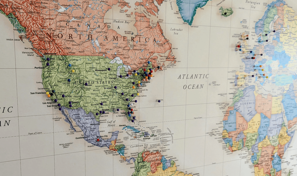
Many people collect local maps as souvenirs wherever they travel.
Maps Trigger Memories
Some of us maintain maps to remind of us of all the places we’ve been. We look at a pin on the map and we are transported. We can feel the sense of place we felt when we were there.
Did you know that Google Maps Timeline will generate a personalized map of all the places you’ve visited, showing how far you traveled and even what mode of transport you used? The data is aggregated from several sources, and it may not be 100% accurate, but what fun to see your places plotted in this way!
Who knew you were so peripatetic? And yet we all are, every day, as we go about living our lives. We go to the office (maybe), we go the store and run other errands, take the kids to school, go out to dinner or to the movies or out of town to the forest or the beach. We go to the airport to pick up Aunt Sally who is – finally! – able to come visit. These are our everyday places. Consciously or sub-consciously we choose the indoor and outdoor spaces we frequent based on the sense of place we get from that location. The experience we associate with it.
Maps drive OOH success
Out-of-home advertising is designed to capture attention and engage people wherever they are in real-life situations. So OOH marketers use maps, too, to learn where and when they might connect with you when you’re out and about doing your thing. They use location-mapping (geotargeting) to strategically plot ad placements that will not only reach the most people but the right people, the most often, in the most cost-effective way.
With the right technology you can determine where and when your top targets will be, and plan your OOH campaign accordingly. And when the campaign is over, you can plot measurement data on a map to see which placements were most productive.